Research
Master’s Thesis: Evaluating the Representation of Snow Sampling Sites in the Western U.S. and Alaska
The full text can be found here and below is the abstract.
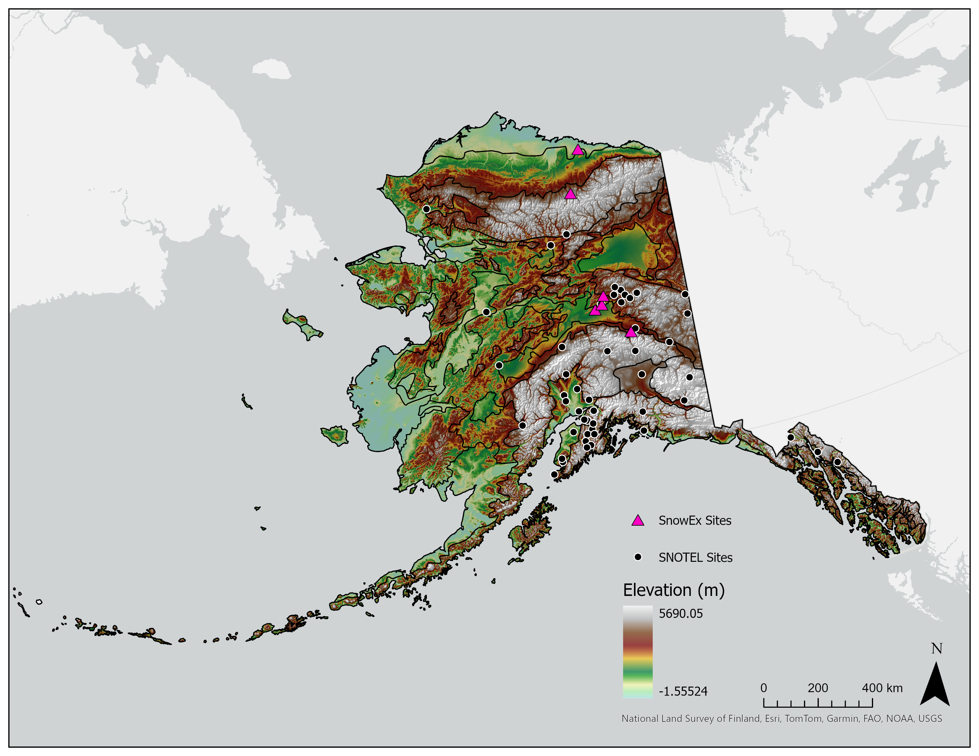
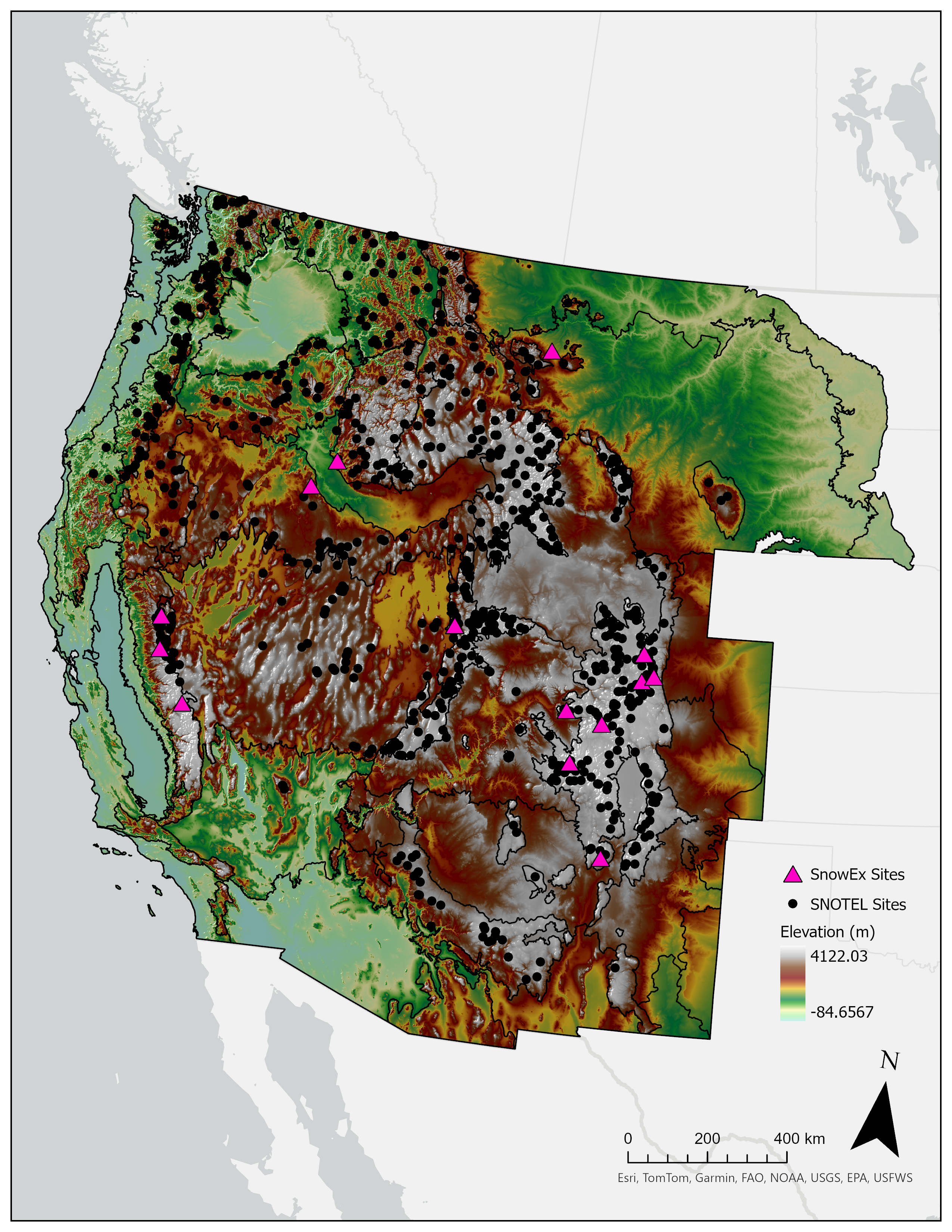
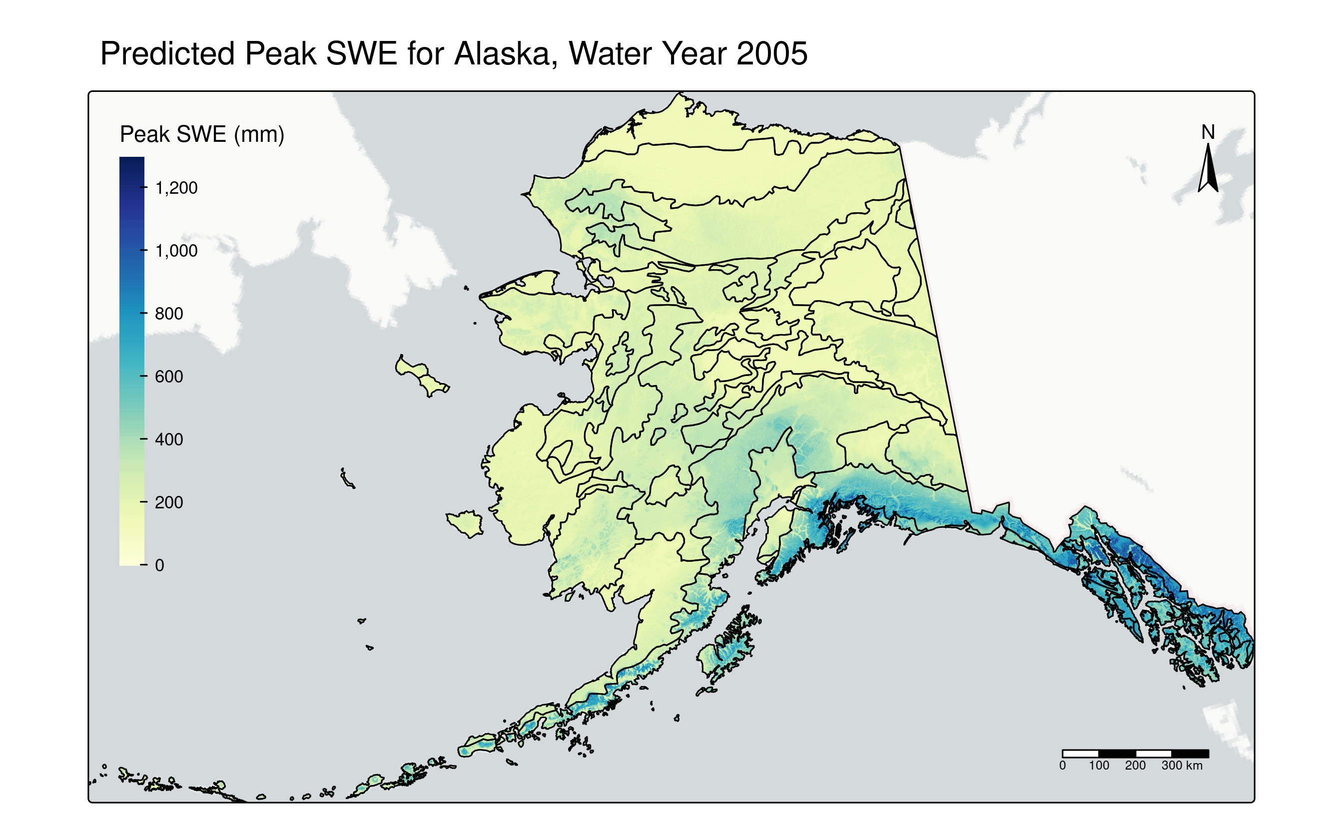
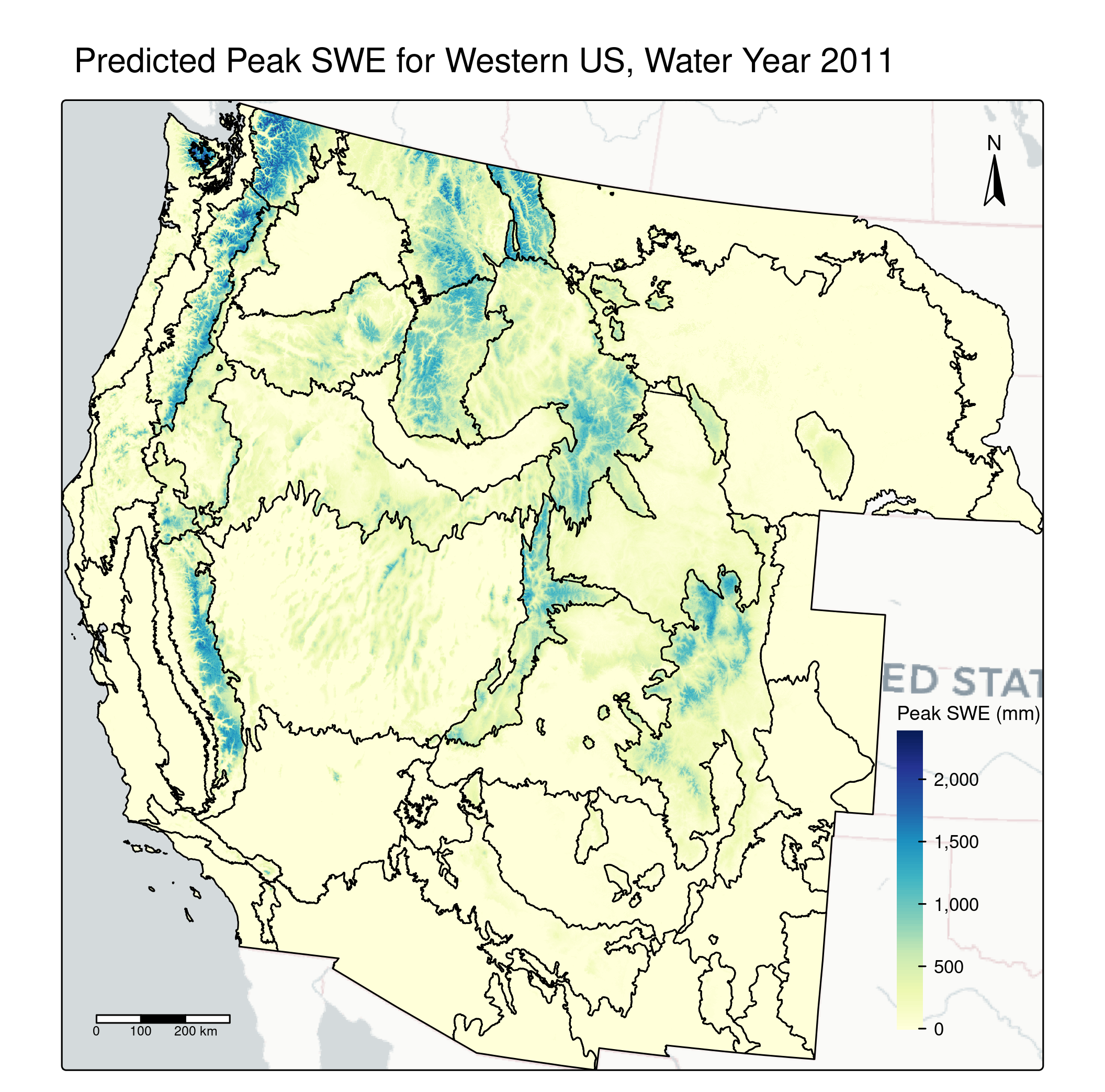
- Snowpack is a critical water resource threatened by climate change. This is particularly true in the western United States. NASA’s SnowEx program measured snow cover at numerous sites in the western United States and Alaska in preparation for future space-based missions. These snow cover sites were chosen largely based on snow cover classes created using subjectively defined thresholds. However, there has not been a systematic classification of snow cover in the US or SnowEx sites in terms of variables that affect snow water equivalent (SWE). Random Forest is a machine learning method that uses groups of decision trees to create robust predictions and identify important variables. SHAP (Shapley Additive Explanatory Values) is a modeling framework which uses game theory to evaluate the local importances of different predictors in a model by estimating their contributions in different coalitions of predictors. Using these advanced machine learning methods, I have created new snow cover classifications for the western United States and Alaska based on key predictor variables of peak SWE for Water Years 1993-2020 and assessed the representativeness of SnowEx sites in terms of these classes. These new snow classes are compared with the snow cover classification system created by Sturm and Liston (2021). This work will help NASA identify data gaps and enhance future snow monitoring efforts.
Mountain Rain or Snow
Mountain Rain or Snow (MRoS) is a NASA-funded citizen science project with the goal of improving satelite-based estimations of precipitation phase from the Global Precipitation Monitoring (GPM) mission. Additionally, MRoS aims to utilize crowdsourced data to improve forecasting of winter weather and hazards such as rain-on-snow events and avalanchages, as well as to contribute effective practices for citizen science project design.
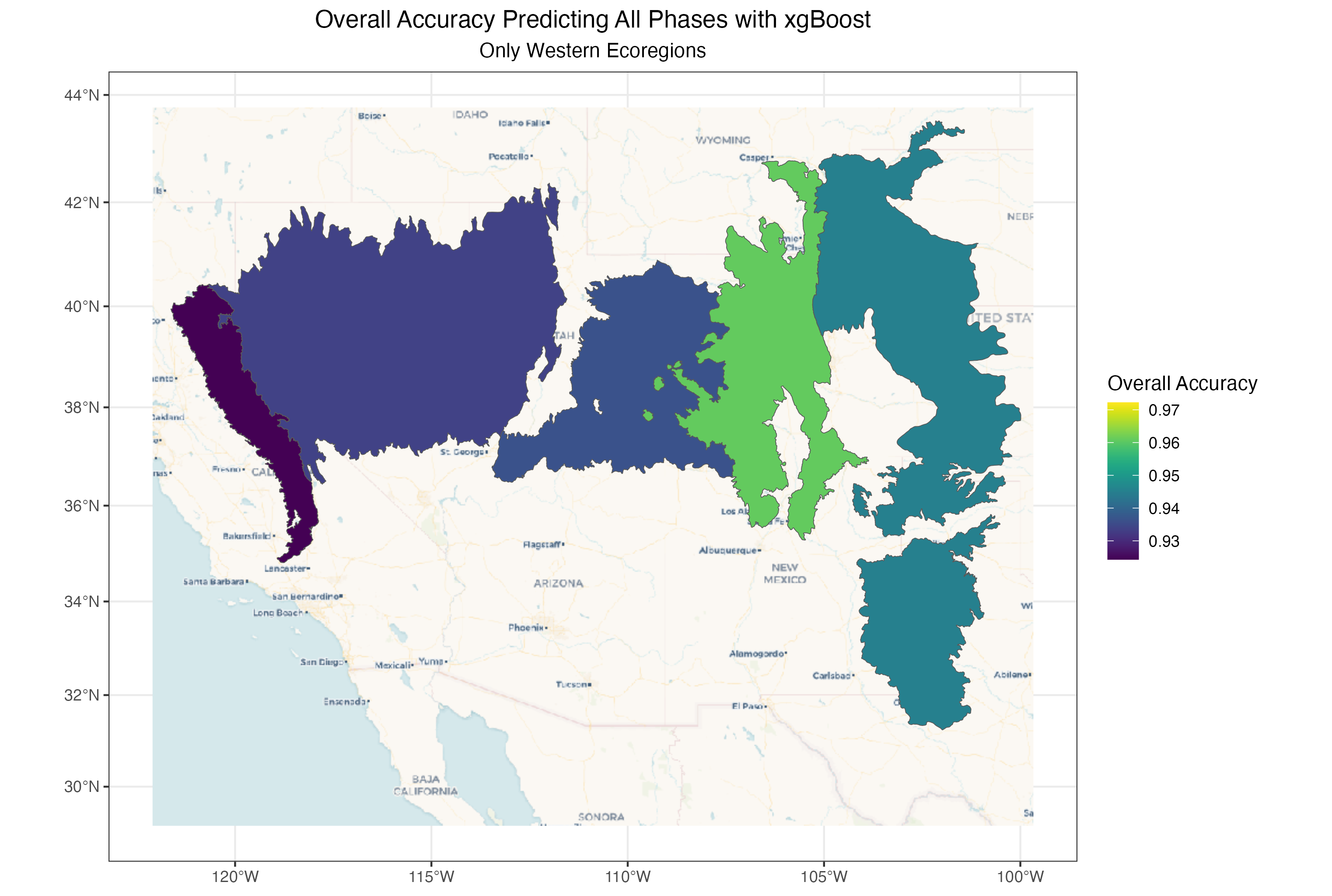
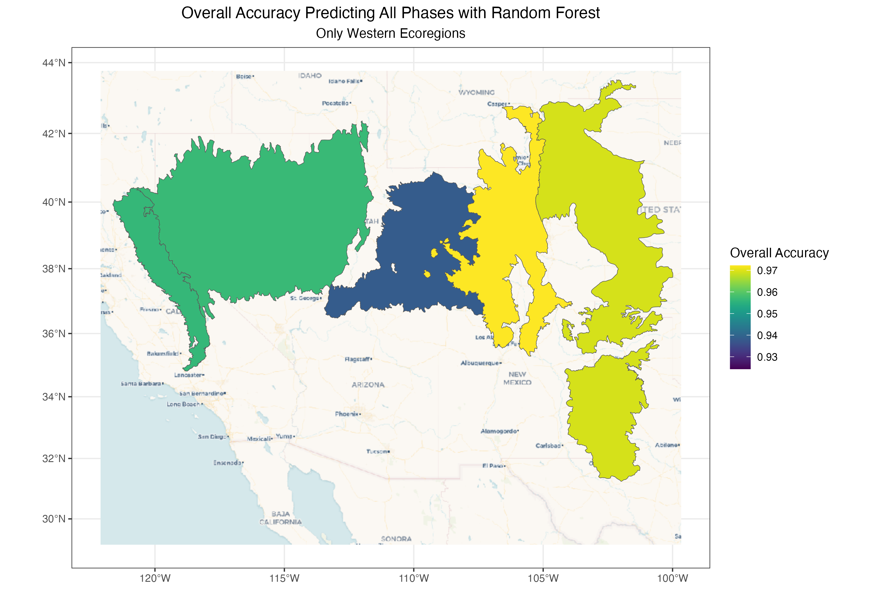
In my role with this project, I spent the summers of 2024 and 2025 investigating binary thresholds for precipitation phase delineation based on GPM’s Probability of Liquid Precipitation (PLP) data product and examining spatial differences in the accuracy of machine and deep learning models in predicting precipitation phase in mountain ecoregions.